Anyone can make a mark.
Point, click, and drag. No design experience required.


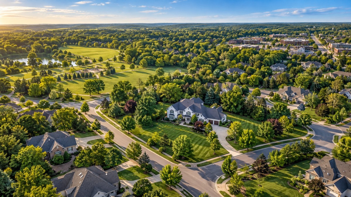
AERIAL PHOTOS. A CLEARER STORY.
Turn a drone shot into a property story.
Add pins, boundaries, and street names
with a few clicks.
Free to edit. Buy credits only for the photos you deliver clean; they never expire.
 Ready to export
Point, click, and drag. No design experience required.
Your colors, fonts, icons, and brokerage logo.
Export a single photo or a complete set, at full resolution.
ONLY HERE
Open an original drone photo and the editor finds the schools, supermarkets, shopping centers, and restaurants around the listing, places them where they are in the shot from the drone’s GPS and camera angle, and labels each with its distance from the home. One click adds them all, on every plan.
BUILT FOR REAL ESTATE DRONE PHOTOS
Skip the layer-by-layer setup. Get straight to marking the property.
| Your task | PhotoshopExample manual setup | Made simple. Built for property markings. |
|---|---|---|
| Location pins |
| Drop a pin. Type your label. Drag into place. |
| Property outlines |
| Trace the lot. Pick a style. |
| Property spotlight |
| Move one slider to spotlight the property. |
| Street names |
| Trace the road. Name it. Slide the label. |
| Consistent branding |
| Choose your brand kit. Apply it to the shoot. |
| Exports & revisions |
| Pick photos. Download. Re-export the same originals free. |
Example manual workflows. Photoshop templates, Actions and plugins can reduce setup. This comparison highlights the tools already built into DronePhotoEditor.
LESS FUSS. MORE FINISHED PHOTOS.